
Henderson Previous Resident Sources
No single roll identifies everyone who occupied a Henderson home. The current PVA or tax record establishes the parcel and owner, the deed index follows title, and local directories or census schedules add household evidence. The Henderson County Clerk says recorded documents reach back to 1786, but the web tools cover a much shorter span. That distinction determines whether a search can stay online or must move to books, microfilm, or staff assistance.
| Source | Years It Covers | Where Held | What It Shows |
|---|---|---|---|
| County deed records | 1786-present; web index from 1960 | County Clerk and Henderson Deeds | Parties, instrument, date, consideration, legal description |
| City directories | 1876-present, with gaps | Henderson County Public Library | Named residents and address context |
| Telephone directories | 1925-present, with gaps | Henderson County Public Library | Listed subscriber at an address |
| Federal census | Public schedules through 1950 | Library databases and NARA | Household members at ten-year intervals |
| Permit and code archives | Mainly 2023 or 2024-present | City and county archives | Work, orders, liens, dates, and parcel links |
Begin with the newest dependable source and move backward. For a recent transfer, that means the PVA, tax roll, and deed index. For an early twentieth-century household, a directory year beside a public census year is often more useful. A blank search result is not proof that nobody lived there. It may mark a missing directory, an unindexed scan, a spelling change, or an address that was renumbered.
Write down what each source can actually prove. A deed names parties to a transfer. A tax record identifies the party billed. A directory lists a person or business under the publisher's rules, and a census captures one household on its enumeration date. Agreement across two or three sources is much stronger than a lone name. Conflicts should stay visible in the notes until another dated record resolves them.
Trace Henderson Resident Owners
The cleanest route to previous residents starts with the current parcel. Use the Henderson County PVA or property-tax search to capture the current owner, parcel key, situs address, and legal description. Then open the Henderson deed index and search the current owner as a grantee, meaning the buyer who received title. The matching deed should name the grantor, or seller, and give a book, page, date, instrument type, and description that can anchor the next step.
- Copy the current owner, PIDN or map number, and legal description from the parcel record.
- Find that owner's acquisition in the deed index, checking name variants and instrument dates.
- Take the listed grantor and search that person as a grantee to locate the prior acquisition.
- Repeat while recording every book, page, instrument number, and lot or subdivision reference.
- When online coverage ends, give the last citation to the County Clerk and request the earlier book or microfilm.
- Grantor and grantee
- The grantor gives an interest in property; the grantee receives it.
- Chain of title
- The linked sequence of recorded transfers for the same parcel.
- Legal description
- The lot, block, boundary, tract, or subdivision wording that identifies land even when its street address changes.
A deed proves a recorded interest, not who slept at the property. Compare the owner's mailing address with the situs address, then use household sources before calling an owner a resident.
Henderson Resident Records Before Web
Henderson's deed system has three different time markers. The clerk's physical record span begins in 1786. TitleSearcher's indexed deed information begins October 4, 1960, while deed images begin June 5, 1973 and other indexed images begin June 8, 1973. A search that stops at the portal therefore leaves nearly two centuries untested. Older work shifts to deed books, microfilm, office help, or paid access where available.
The Henderson coverage page shows those limits and is worth checking before planning a visit.
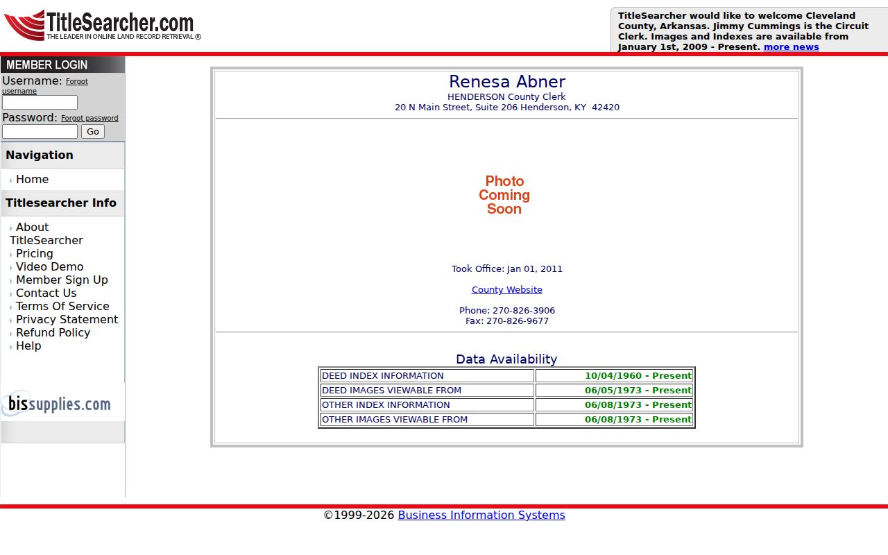
The cutoff dates explain why an old transfer may have a valid book citation but no web image.
The recorder also exposes Non-Indexed Documents for material that a normal party-name query may miss.
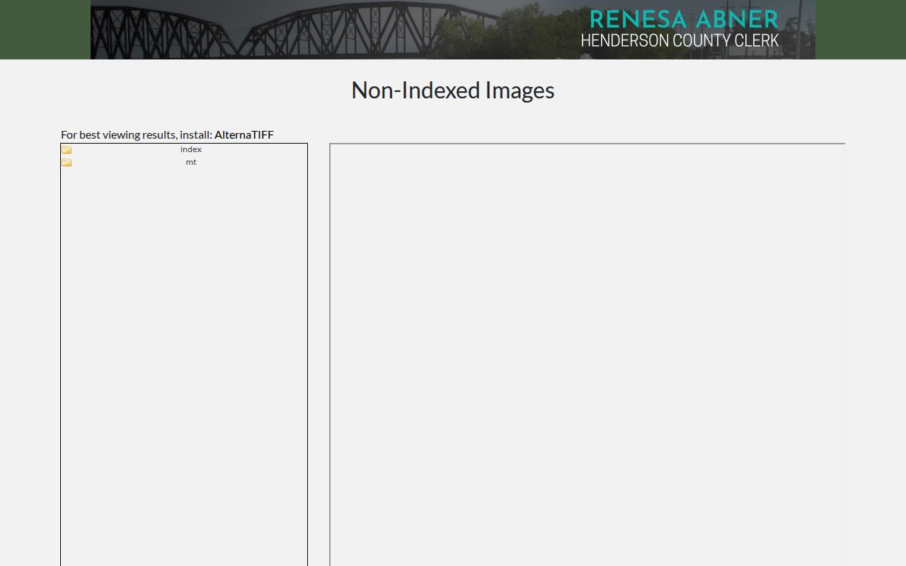
This separate route makes a portal miss a reason to broaden the search, not to end it.
Henderson Resident Street Names
Old addresses need a name check before they need a new person search. Henderson County's dated road-name table includes First Street becoming First Avenue and Cemetery Road becoming Grandpa Jones Drive. Other records may alternate between Street and Avenue or retain an old subdivision name after the postal label changed. Search both versions in directories, deeds, newspaper notices, and permit files.
When a street string fails, use the legal description. Lot, block, subdivision, phase, plat, and adjoining-owner language can hold steady through a rename or renumbering. The county street-name changes provide dated bridges, while the GIS parcel key connects the present map to the PVA and recorder. This is one of Henderson's best safeguards against assigning past residents to the wrong site.
Note: Preserve each old and current address form in the research log, since either one may unlock the next record.
Henderson Resident Recording Trail
A just-filed instrument may appear in the recorder's daily material before it fits a familiar index search. The Daily Recording Notebook is another access point when a recent deed, lien, release, or related item has not surfaced under a party name.
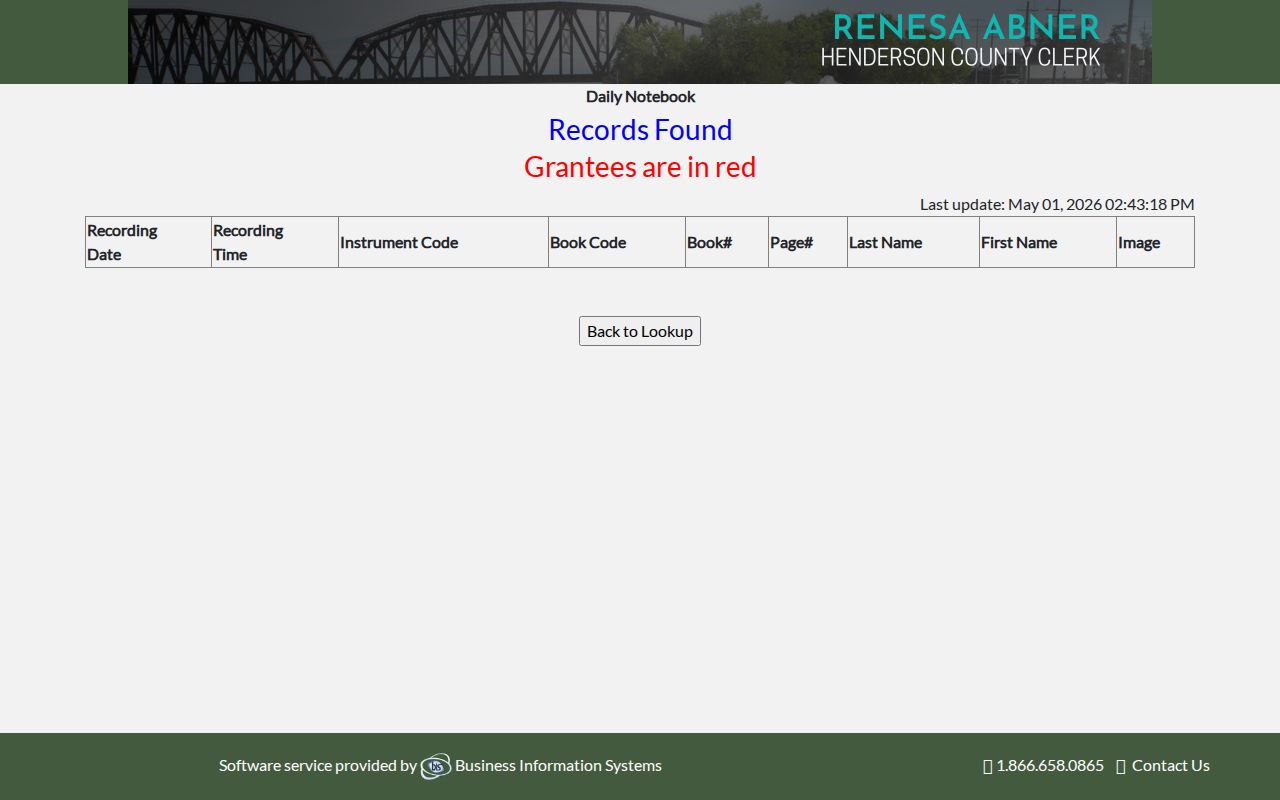
The notebook can supply the date or instrument detail needed to reconnect the filing to the parcel's longer chain.
For copies or older volumes, contact the Henderson County Clerk's Document Recording office. The documented channels include the web index, in-person office access, eRecording for eligible filers, and clerk assistance with recorded material. Carry exact names, date ranges, and book-and-page citations. A focused request is much easier to route than a broad question about everyone who ever occupied a street address.
Map Henderson Resident History
The Library of Congress holds an August 1901 Henderson Sanborn set with 22 sheets. These fire-insurance maps can show a building footprint, construction details, use, and nearby landmarks. They date the structure and block, not the resident. Pair the right sheet with a directory, census, deed, or newspaper item before attaching a person's name to it.
The distinction matters downtown, where the Ohio River bluff, the 1797 town plan, wide streets, and later parcel changes shape the address record. A map may show that a house existed before the first directory hit, or that a modern parcel combines earlier lots. It cannot show that a listed owner lived there. This contrast between place evidence and person evidence is central to a sound Henderson address history.
Use landmarks printed on the sheet to verify orientation before matching a modern parcel. Street width, corner position, an alley, a business label, or an adjacent public building can be more dependable than a house number alone. If the Sanborn sheet and current GIS disagree, inspect plats and legal descriptions rather than stretching the old map to fit. The goal is a defensible location match before adding names.
Henderson Resident Permit Records
Recent city and county archives add events between deed transfers. Henderson's electronic building-permit reports are chiefly available from 2024 forward, while code-enforcement final-order archives run mainly from 2023. Entries may show an address, case date, work type, parcel identifier, owner, order, or recorded lien. They do not create a complete list of occupants, but they can explain who dealt with the property at a specific time.
The code-enforcement archive illustrates this newer record layer.
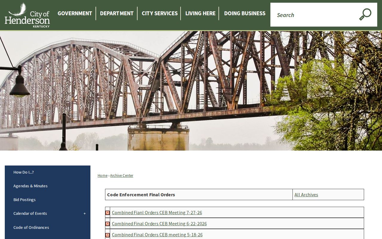
A recorded enforcement item may provide a book-and-page reference that leads back into the deed chain.
Use the city archive online first, then call the relevant code or building office for a file that is not posted. For a public agency record outside a portal, a focused request under the Kentucky Open Records Act can ask the office that possesses it. Recent Kentucky guidance also stresses that one agency need not recreate another agency's file, so route planning and zoning records to their actual custodian.
Henderson Past Resident Households
Owners are only part of the past-resident trail. Henderson County Public Library reports city directories from 1876 to the present with gaps, telephone directories from 1925 with gaps, newspapers from 1880, and public census schedules through 1950. Check the address in the nearest directory year, then compare that named person with the closest census. Repeat on both sides of a transfer date. The full collection details belong on the Henderson city directory page, while this address method keeps the focus on who lived here before.
- Place each deed transfer on a simple year-by-year line.
- Add directory entries immediately before and after the transfer.
- Insert the nearest public census household, noting that census years are snapshots.
- Test deaths or departures in the library's Gleaner obituary index, newspapers, probate files, and cemetery search.
The Gleaner obituary index begins in 1956 and may connect a former address to relatives, a funeral home, and a cemetery. Fernwood dates to 1849 and Fairmount to 1921, which creates two distinct local cemetery eras. City minutes from 2026 describe active work to digitize cemetery cards, burials, deeds, and leases, so ask whether a paper card or digital entry is authoritative for the period in question.
Lawful use. Research previous residents for house history, genealogy, estate work, or personal curiosity. Never use a record trail to track, threaten, or harass a living person.